

An Antarctic Expedition: Monitoring Essential Climate Variables with GNSS
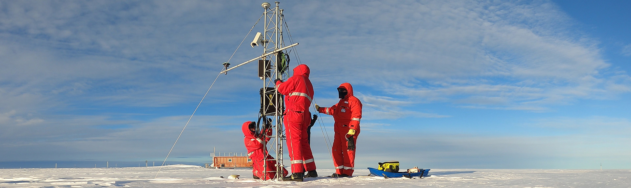

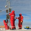
In November 2021, Dr. Ladina Steiner looked out across the icy expanse of Antarctica’s Ekström ice shelf, situated at the intersection of a childhood dream to join an Antarctic expedition and her current geodetic-based glaciological research.
In the preceding months, she had not only arranged the setup of an experiment intended to run remotely and endure a year in one of the world’s harshest environments, but also navigated challenges and looming logistical uncertainties by leading a project during the pandemic.
Ultimately, her perseverance and preparation paid off: between heavy storms and occasional seal and penguin sightings, Steiner set up her experiment to test a new method for estimating in-situ surface mass balances by developing a combined GNSS refractometry and reflectometry method.
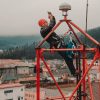
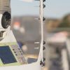
Equipped with Leica Geosystems AS10 GNSS antennas and Leica GR10 receivers, Steiner was able to continuously collect data over a year, opening a promising path for using GNSS to help researchers understand the impact of climate change on ice sheet mass loss and sea level rise.
Posts Widget
-
1
-
2
-
3

-
4
Copyright 2022.KlbTheme . All rights reserved
